This video shows part of the drive. The GF just held the camera up to the windshield. We are lucky to live in such a beautiful part of the country.
You can also see the video on Youtube here.
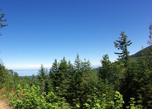
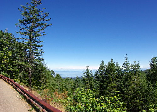
One the drive, we pulled off at a scenic turnout. The overlook was at Ancient Lake Morse.
Thousans of years ago, a great ice sheet from Canada flowed south through the Puget Sound and west through the Strait of Juan de Fuca. The ice shee abutted alpine glaciers flowing from the Olympic Mountains. As warming occurred, meltwater from mountain glaciers was dammed by the ice sheet, forming ancient Lake Morse. Continued warming caused the ice sheet to withdraw, draining the lake. Morse creek now parallels the road. In ancient times it flowed over a ridge of soft sediments connecting Blue and Round Mountains. When glaciers dammed the creek, it was diverted to a new path between Round Mountain and the present road, cutting through hard lava rocks. The resulting gorge is visible as you drive down the road or from the short trail at the Tunnels parking area.
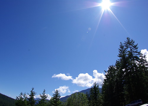
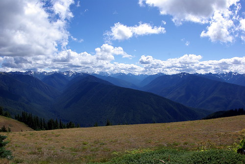
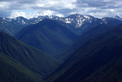
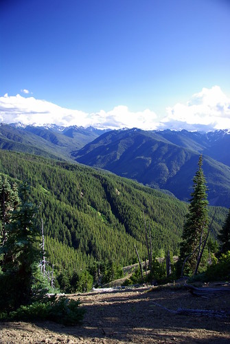
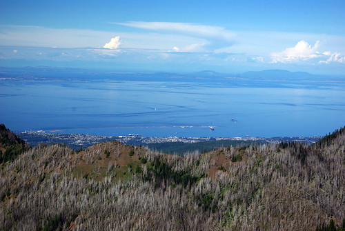
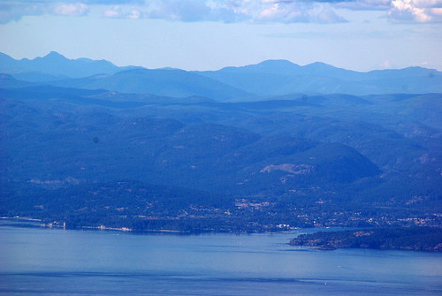
The science is cool, but the scene is impressive. I shot these pcitures with a 10mm - 17mm fish eye lens. It was my best shot at capturing the land scape, but it's still a poor substitute for the real thing.
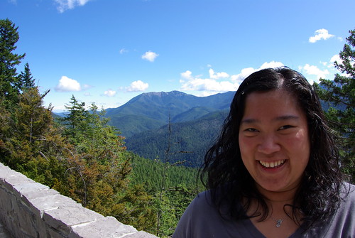
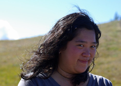
I didn't expect this to be a great portrait lens, but I really like how this turned out. I had the camera 3 feet from the GF's face, and she thought I was nuts (which puts her into a rather large group). But I think it worked out.
She shot some, as well.
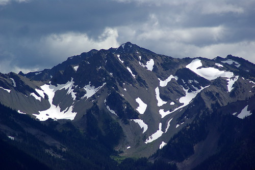
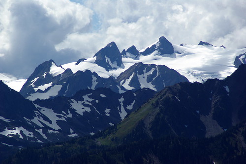
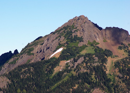
We continued up the road to the visitors center and gift shop. The views were much more open there. And the crowds were much larger. From here, we could see the glaciers in the mountains and the August snow in the park.
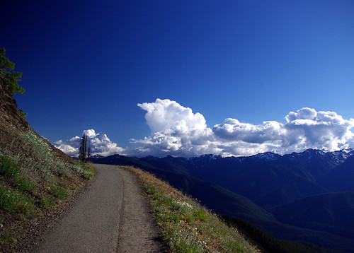
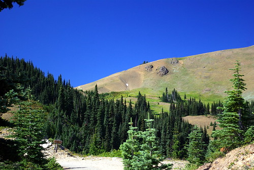
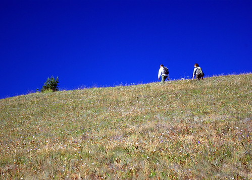
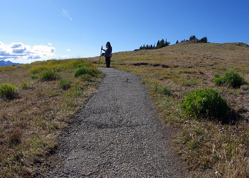
From there we drove a short distance to the Hurricane Ridge trail head. Then we began walking. Uphill. It took a little longer than I expected -- probably about an hour (maybe a little more). It's 1.5 miles to the ridge, but we stopped a bunch of times to take pictures and to take in the scenery. While the guidebooks talked about cold weather in the middle of summer, we lucked out and had gorgeous weather the whole time.
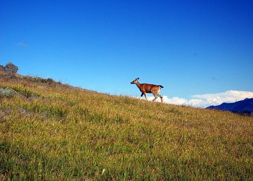
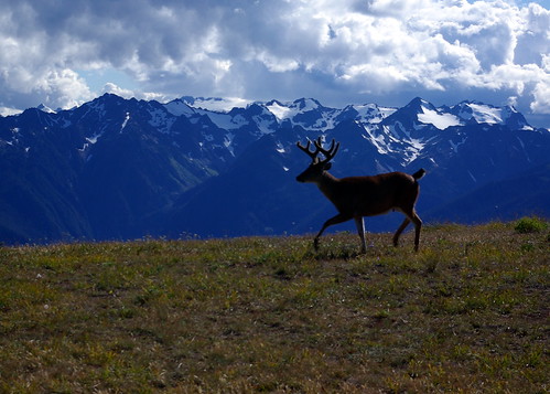
It was quite a walk, but the views up top made it all worthwhile. Once we got up there. a deer walked right past us. It was pretty amazing how close it was.
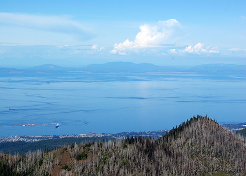
When we turned around, we had fantastic views of the Strait on Juan de Fuca. See that land across the water? That's Canada.
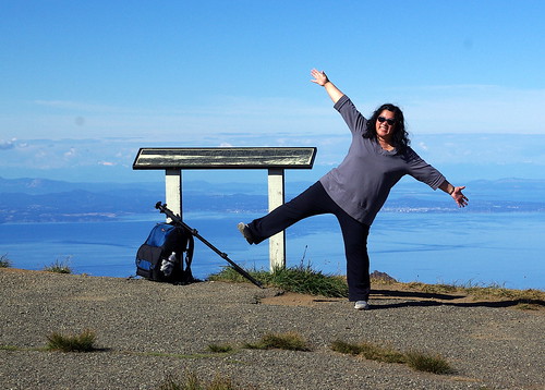
The GF had a lot of fun, too.
Eventually, it was time to head back. We made sure to spend enough time up there to be sure the walk was worth it.
If you go, dress in layers. We got lucky with how warm it was. Also, be aware that the trail isn't wide. And there are no gurad rails or hand holds. And off to one side there are major dropoffs. Bring water and snacks to stay fueld up. And take your time. The views are worth it and your lungs will appreciate it, especially if you aren't acclimated to the 5700 foot elevation. You can't count on cell phone service along the way, although I did manage to check in on foursquare at the top of the trail.
It was a fantastic, if tiring experience.
You can see more pictures here.


4 comments:
very nice and beautiful view. thanks for sharing
I'm just curious about the road going to the Hurricane Ridge: Is it really steep? We plan to go there this summer, can a Toyota Camry V6 manage the road? Thank you in advance. ;)
@Cessology: That should be no problem. Unless your Camry of filled with 10 people and luggage, it should handle the road no problem. I did it in a 4-cylinder Subaru Forester and while the car did work a little, I had no trouble maintaining speed. The curves in the road were a more significant factor in my speed than the grade of the road. It's a well paved highway.
Enjoy your trip!
Thank you, Cromely! =)
Post a Comment