I'm actually hosting my pictures on www.flickr.com/people/cromely
The system works pretty well.
Downtown Seattle is on the left. You can see I5 winding its way right to left across the picture.

Here, you can barely see downtown Seattle in front of the engine.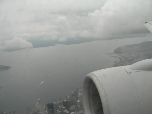
Here is a nice view of Elliott Bay and the Port of Seattle. Qwest Field, where the Seahawks play, is in the bottom center.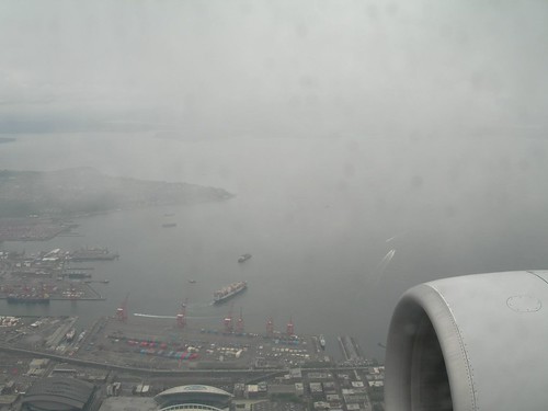 Here you get more of a view of the bay, and West Seattle at the top.
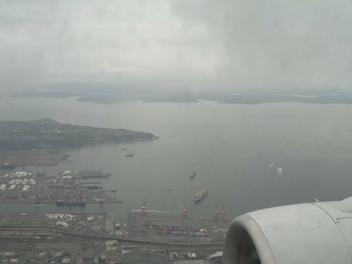 More of the Port. You also get a view of the Qwest logo on Qwest Stadium.
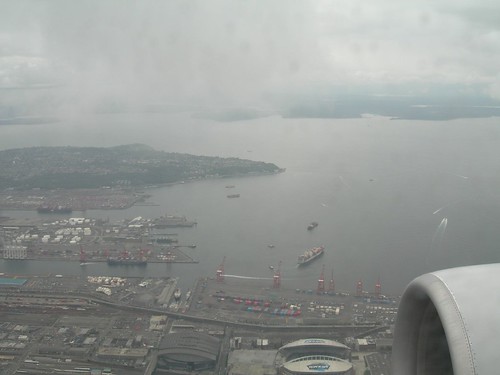
In the middle, you can see Harbor Island. This is a man-made island and a superfund site. It is a major Port of Seattle facility. 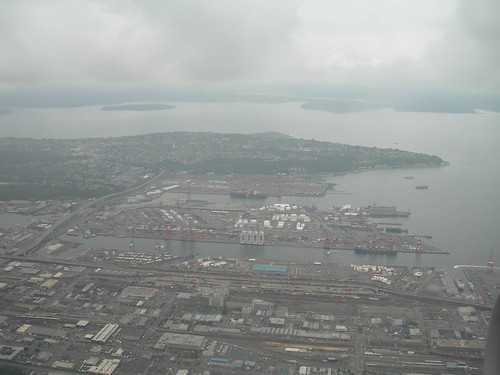
I suppose I shouldn't be using my digital camera below 10,000 feet, but I'll try to get more shots next time I fly through.
At least until the flight attendants stop me. (That's my life motto.)

1 comment:
Our flickr isn't working and giving us dead links on that last Japan post. Tips?
Post a Comment